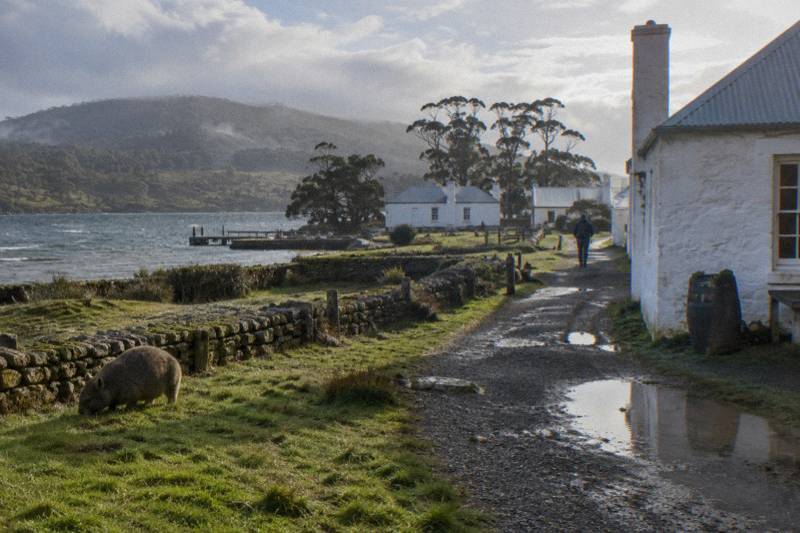
Maria Island Weather: Best Months For A Day Walk Or Cruise
Bureau of Meteorology records from the island's own weather station show a mild, changeable climate: January tops out near 21.5 °C on average, July sits near 12.8 °C, and rain falls somewhere on the island on 76.9 days a year. Here is what that means for choosing a month, a ferry sailing and a trip format.
Short answer
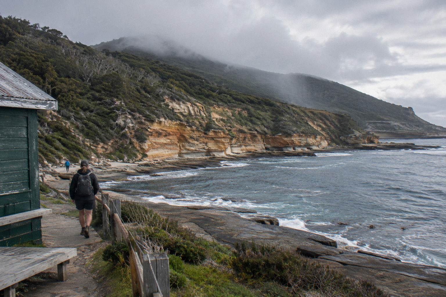
Maria Island's warmest months are January and February, averaging 21.5 °C and 21.1 °C daytime maximums, with February the driest at 30.8 mm mean rain. May to August is coolest, near 12.8 to 13.5 °C, with no ferry sailings on Tuesdays or Thursdays. Cruises run year-round except Christmas Day; whales are possible May to October.
Maria Island sits in the Frederick Henry Bay weather system off Tasmania's east coast, and it has something most small islands lack: its own Bureau of Meteorology station. The Maria Island (Point Lesueur) site, open since 2004, records every temperature, shower and wind shift on the island itself rather than in Hobart or Bicheno. Those records paint a picture of a mild maritime climate with no extreme month, a modest annual rainfall of 530.5 mm, and a winter that is cool rather than brutal.
That matters for planning because almost everything you do on the island happens outdoors. There are no shops, no cafes and no vehicles; a day here is a ferry crossing or a cruise, a walk to cliffs or a summit, and wildlife watched from a track. Picking the month, the sailing and the trip format around the weather record, rather than around guesswork, is the difference between a comfortable day and a rushed one. The Maria Island Tours pages break each trip down separately; what follows is the climate picture that sits underneath all of them.
What Is Maria Island Weather Really Like?
Expect a mild maritime climate with small seasonal swings: the mean annual maximum is 17.0 °C, July averages 12.8 °C, and the extremes span 1.8 °C to 35.5 °C across two decades of station data. Rain falls on 76.9 days a year at 1 mm or more, spread evenly, so no month is either dry or washed out.
The figures come from Bureau of Meteorology Maria Island station records covering 2004 to 2026. That is a real observation period rather than a long-term average, and it is short enough that the island has not seen everything a 30-year record would capture. Still, eighteen-plus years of on-island measurement gives a dependable shape to the year: warm, dry-ish summers, cool winters, and shoulder seasons that sit pleasantly between.
Two numbers deserve attention before any others. The highest temperature ever recorded at the station is 35.5 °C, and days of 30 °C or more average just 0.7 in January, 0.2 in February and 1.1 in December. Hot days are rare. At the other end, the lowest recorded reading is 1.8 °C, so genuine frost-level cold on the island is uncommon too. The practical range of a day walk is narrower than the raw extremes suggest: most days land between the monthly mean minimum and mean maximum.
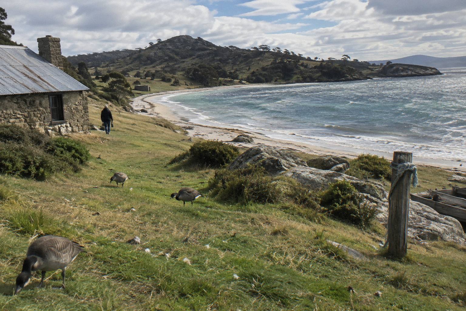
Rain is the persistent variable. November is the wettest month by rainfall at 58.2 mm on average, June by rain days at 7.0, and February the driest at 30.8 mm. But even the wettest month averages under 60 mm, and rain days cluster in the six-to-eight per month band all year. In other words, rain is always possible and rarely dominant; layers and a shell, not an umbrella strategy, are the answer, and the packing guide for a day tour covers exactly what that looks like on the ground.
The station's own page at the Bureau of Meteorology carries the full monthly breakdown if you want to read the raw tables yourself.
| Month | Mean Max C | Mean Min C | Mean Rain mm | Rain Days 1 mm+ |
|---|---|---|---|---|
| January | 21.5 | 14.0 | 45.8 | 5.1 |
| February | 21.1 | 13.9 | 30.8 | 5.6 |
| March | 20.1 | 13.3 | 38.8 | 6.8 |
| April | 17.7 | 11.4 | 34.1 | 5.5 |
| May | 15.3 | 9.8 | 42.8 | 6.1 |
| June | 13.1 | 8.2 | 50.9 | 7.0 |
| July | 12.8 | 7.5 | 31.6 | 6.1 |
| August | 13.5 | 7.7 | 38.9 | 6.8 |
| September | 15.2 | 8.5 | 41.2 | 6.0 |
| October | 16.6 | 9.5 | 43.8 | 7.4 |
| November | 17.9 | 10.9 | 58.2 | 7.9 |
| December | 19.8 | 12.3 | 49.2 | 6.6 |
| Annual | 17.0 | 10.6 | 530.5 | 76.9 |
Which Months Give You The Best Walking Conditions?
January through March deliver the warmest, most settled walking averages, with mean maximums of 21.5 °C, 21.1 °C and 20.1 °C, though March carries 6.8 rain days on average. April and May cool steadily to 17.7 °C and 15.3 °C but stay dry by island standards, making the shoulder months a strong trade between comfort, daylight and quieter tracks.
If warmth is the goal, the first three months of the year are the answer, and February is arguably the pick: it matches January's warmth almost exactly while being the driest month on the record at 30.8 mm mean rainfall. March stays warm but its rain-day count of 6.8, the third highest of the year, hints at the autumn change. None of these figures promise a dry day; they describe what the month averages over two decades.
The shoulder seasons reward a different kind of walker. April drops the mean maximum to 17.7 °C with only 5.5 rain days, a genuinely comfortable combination for longer tracks like Bishop and Clerk, an 11 km return Grade 4 walk to a 620 m summit where exposed sections make heat harder than cool. May at 15.3 °C is still mild for walking, and wildlife remains active through autumn.
Winter walking, June through August, is a cooler proposition: 13.1 °C, 12.8 °C and 13.5 °C mean maximums, with mean minimums of 7.5 °C to 8.2 °C. Those are day-walkable numbers with the right layers, and the island's wildlife, including wombats, is commonly more visible in winter daylight hours, though a sighting is never guaranteed. The real winter constraint is not temperature but the timetable, covered next. The winter ferry and walks overview goes into that season in detail.
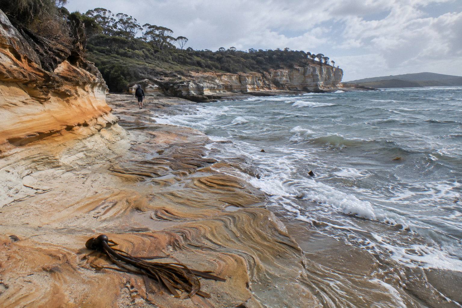
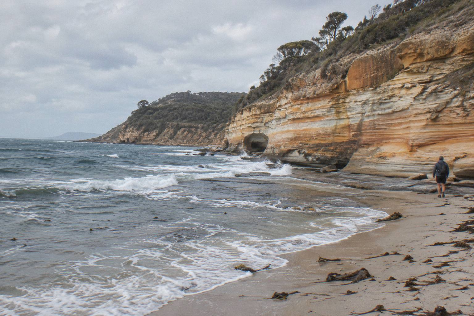
One weather factor sits outside every monthly average: tides. The Painted Cliffs rock platform is safest within two hours of low tide and only in calm seas, and tides follow no month. Whatever the season, check a current tide table for your date before you lock a departure, because the timetable and the tide table are two different documents.
How Does The Ferry Timetable Change Between Seasons?
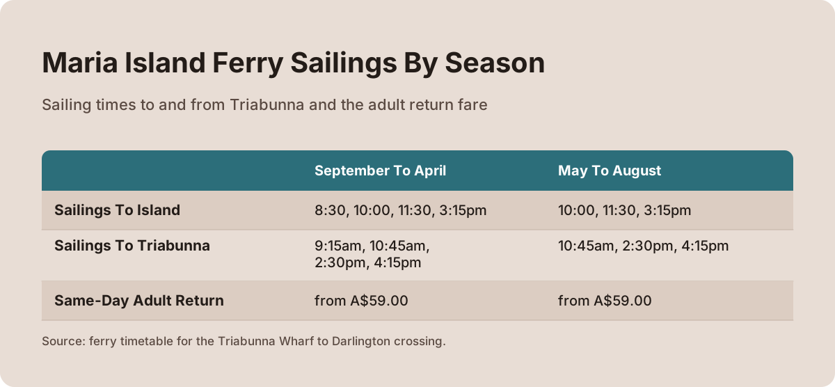
From September to April the ferry runs every day except Christmas Day, with four sailings each way: to the island at 8:30, 10:00, 11:30 and 3:15pm, and back at 9:15am, 10:45am, 2:30pm and 4:15pm. From May to August there are three sailings each way and no departures on Tuesdays or Thursdays at all, so midweek winter plans need a Monday, Wednesday or Friday onward.
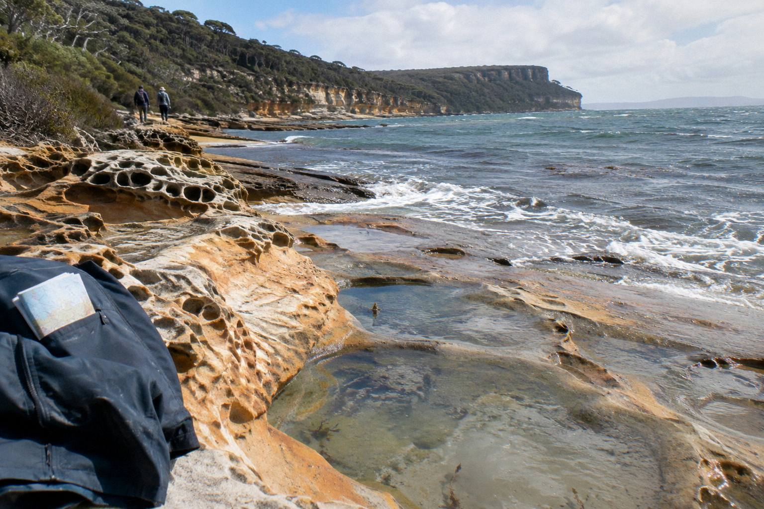
The ferry, operated by Encounter Maria Island as the Parks and Wildlife Service's official ferry operator, runs the 30-to-45-minute crossing from Triabunna Wharf to Darlington. Check-in happens at the Maria Island Gateway building beside the wharf at least 45 minutes before departure, where your park pass and luggage are checked; the Gateway opens 7:45am to 3:30pm in the September-to-April period and 9am to 3:30pm from May to August. All sailings depend on demand and safe sailing conditions, and the skipper can delay or cancel in bad weather, so live times are the ones shown at booking.
The winter pattern deserves emphasis because it catches people out. Two weekdays with no service at all, and one fewer sailing on the days that do run, means a winter midweek visit is perfectly possible but less flexible. Booking is essential year-round and early booking is advised; sold-out departures cannot take extra passengers.
| September To April | May To August | |
|---|---|---|
| Sailings to island | 8:30, 10:00, 11:30, 3:15pm | 10:00, 11:30, 3:15pm |
| Sailings to Triabunna | 9:15am, 10:45am, 2:30pm, 4:15pm | 10:45am, 2:30pm, 4:15pm |
| Days with no service | Christmas Day | Tuesdays, Thursdays, Christmas Day |
| Same-day adult return | from A$59.00 | from A$59.00 |
| Park pass included | No, bought separately | No, bought separately |
Fares are in Australian dollars throughout and change over time. A same-day return covers one 7 kg carry-on; an overnight return costs from A$70.00 adult. The park pass is separate, and the national park pass guide explains the daily and holiday options.
Crucially, not every trip uses this ferry. The cruise-based products run on the operators' own boats from Triabunna and are not tied to the ferry timetable, though weather still governs them. If a delay or cancellation would wreck your plans, the article on ferry and cruise cancellations in bad weather explains how the two systems behave differently.
For a day built around the crossing itself, three formats cover most travellers, and availability by month differs:
When Are Whales Possible From A Cruise?
Humpbacks travel northward May to July and back south from September, while southern right whales head north June to September and south September to late October, so whale sightings are possible somewhere in the water for roughly half the year. Parks lists these as migration windows only; the cruise operator says sightings vary daily and nothing about wildlife is guaranteed.
The whale calendar and the walking calendar overlap usefully. The northward humpback window in May to June coincides with mild shoulder-season walking at 15.3 °C and 13.1 °C mean maximums, and the southward movement from September tracks the return of the full ferry timetable. October, with a 16.6 °C mean maximum, sits inside both the southern right and humpback southward windows.
| Species | Northward | Southward |
|---|---|---|
| Humpback whale | May to July | From September |
| Southern right whale | June to September | September to late October |
Beyond whales, the operator says dolphins are common on the crossing, and at Ile des Phoques you may see, in the operator's words, thousands of Australian fur seals resting on the rocks and swimming in the surrounding waters. No breeding season is stated for the seals. On the island itself, Parks lists pademelons, forester kangaroos, Bennett's wallabies, Flinders Island wombats, Cape Barren geese and Tasmanian native hens, plus 11 of Tasmania's 12 endemic bird species. Wildlife watching is covered more fully in the wombats and wildlife walk guide.
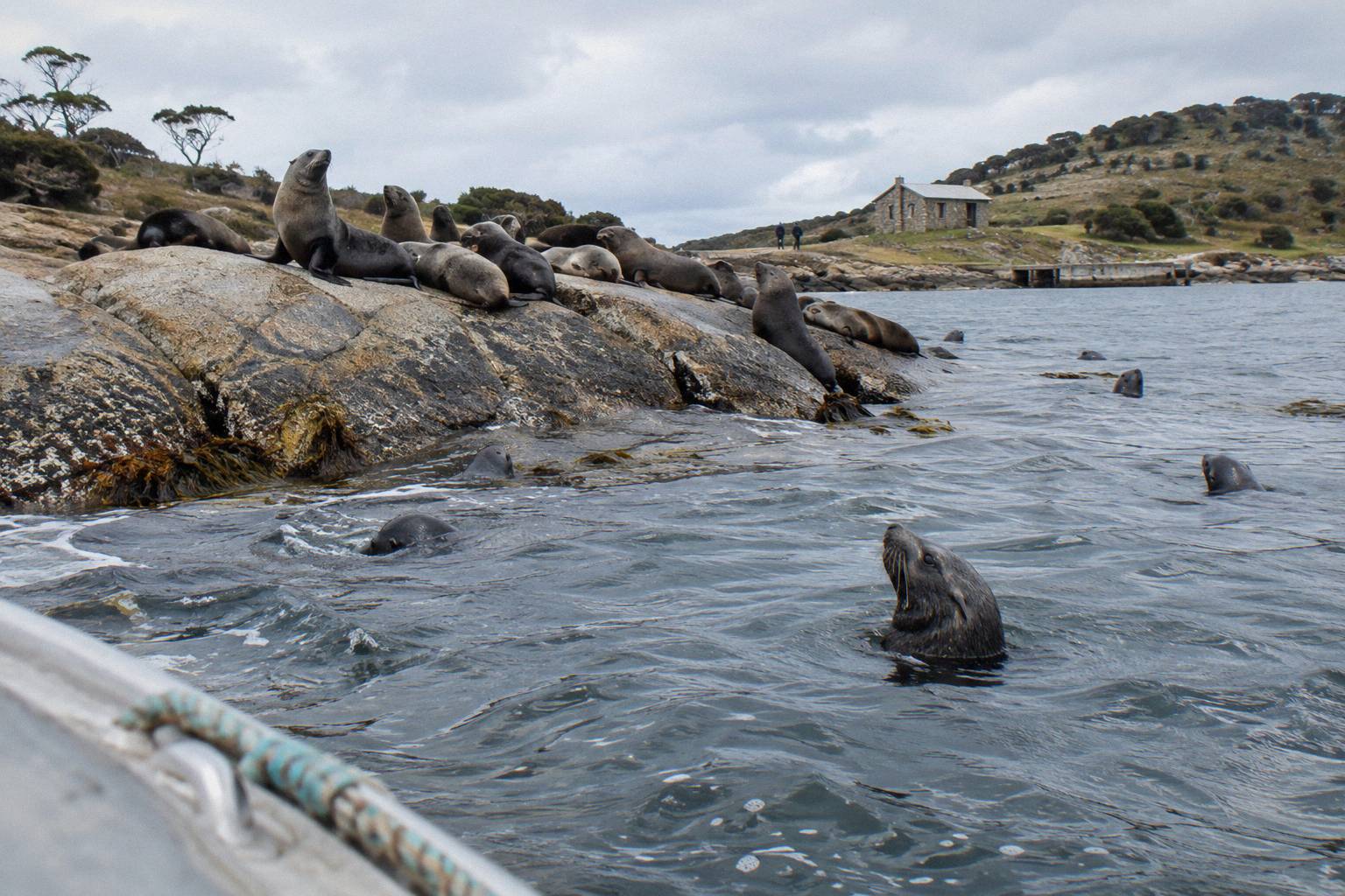
The Ile Des Phoques Boat Day Trip makes the seals its focus, running about 7.5 hours from 21 Vicary Street, Triabunna, with morning tea, drinks and a salad-bowl lunch included and free cancellation; the price for your date shows on the booking page.
Which Trip Format Suits Which Season?
Cruise-and-walk formats work year-round because the boats run daily except Christmas Day; Hobart ferry-day trips suit the September-to-April full timetable; and the 3.5-hour scenic cruise is a compact boat-only option when you want the water without committing a full day. Winter months reward shorter, warmer-cabin formats over long exposed walks.
The operator's own-boat cruises from Triabunna are the most season-proof. The Cruise And Walk From Triabunna starts with check-in around 9:30am at 21 Vicary Street, spends about 6 to 8 hours all told, includes the landing and park fee, seats infants on an adult's lap, has no age or height restrictions, and allows free cancellation up to 24 hours before start. The Cruise And Guided Walk With Picnic Lunch, run by Pennicott Wilderness Journeys within the same family, adds a ploughman's-style picnic lunch, rating 4.9 from 140 reviews on the live listing. Both keep you near a cabin when the weather turns.
From Hobart, the ferry-based days use the public timetable and therefore the seasons above. The Active Day Tour From Hobart runs about 10 hours with the ferry and park fees included, moderate fitness and about 10 km of walking, returning; its cancellation terms differ between booking pages, so check the terms on the booking page you use before paying. It rates 4.8 from 240+ reviews.
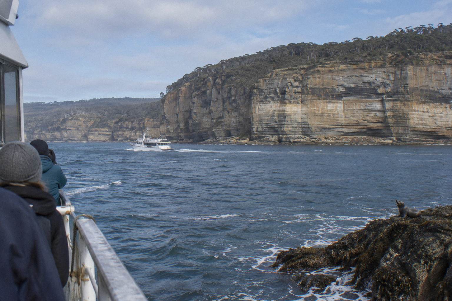
The shortest water option is the 3.5-Hour Scenic Cruise, boat only from Triabunna marina, roughly 10:00 to 14:00, with no landing on the island. In a cold July, when the mean maximum is 12.8 °C, three and a half hours on an enclosed boat is a different proposition from five hours on foot; in February the same trip is a warm-water sightseeing run.
Winter visitors from Hobart have a purpose-built option. The Winter Day Trip From Hobart runs about 8 hours with hotel pickup from around 9:00am, includes the ferry and park fees, and finishes with lunch and a glass of wine; free cancellation applies up to 24 hours before start, and the price for your date shows on the booking page.
For summer's long days, the Grand Picnic Day Walk from See Tasmania Tours is a small-group option, maximum 8, about 10 hours with Hobart hotel pickup, a Davey Street start around 8:15am, and land and sea transport plus park fees included. Free cancellation runs up to 24 hours before start. Its trip page shows current dates and the price for each.
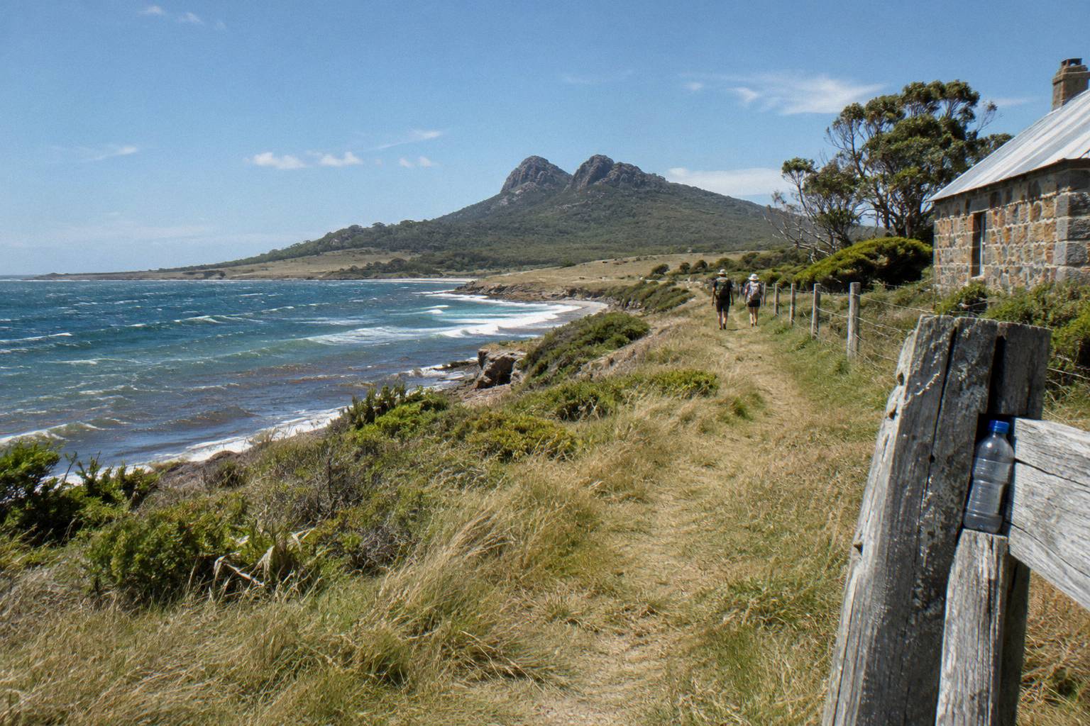
The flagship city start is the Cruise And Walk From Hobart at A$365 per adult on the operator site: check-in at Franklin Wharf in Hobart, a bus to Triabunna, then the operator's own cruise rather than the public ferry, with park entry included and free cancellation up to 24 hours before start. It rates 5.0 from 630+ reviews on the live listing. Read more on the Cruise And Walk From Hobart page, or check availability for your dates.
What Trips People Up When Planning Around The Weather
Four things catch visitors out: assuming the ferry runs every day in winter, forgetting the Painted Cliffs tide rule, expecting guaranteed wildlife because the weather looks right, and reading Hobart forecasts as island forecasts. Each mistake is avoidable with a timetable check, a tide table and the island station's own numbers rather than mainland guesses.
The Tuesday-and-Thursday winter gap is the biggest trap. A traveller who books a Launceston or Hobart stay Tuesday to Thursday in July can find the ferry, and every ferry-based day trip, simply unavailable. The operator-run cruises still sail, but if the plan was Darlington on foot, the calendar comes first.
The second is tides. Warm, calm February afternoons do not make the Painted Cliffs platform safe; low tide within about two hours and calm seas do, and that window rotates through the day all year. Plan the walking route around the tide table, not the thermometer.
Third, wildlife does not follow the sunshine. Wombats are common on the island but never guaranteed, the 15 Tasmanian devils introduced in 2012 are a small insurance population against devil facial tumour disease and a sighting is a matter of luck, and even whale windows are migration timings rather than sightings. The operator's own words apply to every species: sightings vary daily.
Fourth, forecasts. Hobart sits on the Derwent; the island sits in open water 86 km away by road plus a crossing of about 30 to 45 minutes. The Parks and Wildlife Service page for the park carries current alerts and conditions, and the island station's climate tables are a better planning baseline than any mainland city forecast.
Where Does That Leave Your Month Choice?
Pick January or February for warmth and the lowest rainfall, April for comfortable long walks with fewer people, and September or October for the overlap of the full ferry timetable and southward whale movement. Winter suits enclosed-boat formats and shorter visits, with the Monday-Wednesday-Friday ferry pattern shaping the week. Every choice still needs a tide check for the Painted Cliffs and a booking made early.
There is no bad month in the station record, only different trade-offs. The mean maximum never exceeds 21.5 °C and never falls below 12.8 °C, an unusually narrow band for a walkable island. What changes month to month is the timetable, the daylight, the wildlife calendar and which format feels right on the water.
A simple way to decide: if the trip is about walking, choose February or April; if it is about whales and seals, choose June through October with a cruise format; if it is about a winter escape with a warm cabin and a late start, the winter products from Hobart are built for exactly that. Then book early, because passenger numbers on both ferry and cruises are limited and sold-out departures cannot take extras.
Common Questions About Maria Island Weather
What Is The Best Month To Visit Maria Island?
February pairs the near-warmest conditions, a 21.1 °C mean maximum, with the driest record, 30.8 mm mean rainfall. April is a strong alternative at 17.7 °C with only 5.5 rain days and quieter tracks. Whale-focused visitors may prefer September or October instead.
Is Maria Island Cold In Winter?
Winter is cool rather than cold by the station record: mean maximums of 13.1 °C in June, 12.8 °C in July and 13.5 °C in August, with mean minimums of 7.5 °C to 8.2 °C. The lowest temperature ever recorded at the station is 1.8 °C, so severe frost-level cold is rare.
Does It Rain A Lot On Maria Island?
The annual mean is 530.5 mm spread across 76.9 rain days of 1 mm or more, which is modest by Tasmanian standards. November is the wettest month at 58.2 mm and February the driest at 30.8 mm. Rain is always possible in any month.
Does The Ferry Run All Year?
Yes, except Christmas Day, but the timetable shrinks in winter. From May to August there are no sailings on Tuesdays or Thursdays and three crossings each way on operating days, against four each way from September to April. All sailings depend on demand and safe conditions.
When Can You See Whales Near Maria Island?
Humpbacks migrate northward May to July and southward from September; southern right whales northward June to September and southward September to late October. These are migration windows only, and the cruise operator says sightings vary daily and cannot be guaranteed.
Does The Weather Affect The Painted Cliffs Walk?
Yes, but tides matter more than temperature. Parks advises the rock platform is safest within two hours of low tide and only in calm sea conditions, and the cliffs cannot be climbed or reached from above. Check a current tide table for your date before choosing a departure time.