Maria Island Map: Darlington, Painted Cliffs And The Walk Stops On One Page
Maria Island runs 20 kilometres north to south and holds every walk stop on one compact map, from the Darlington jetty to the 711 metre summit of Mount Maria. Here is how the places sit together, how far apart they are, and which stops a single day actually reaches.
Short answer
Darlington is the arrival point and the anchor of the map. Painted Cliffs is 4.3 km return (Grade 3), Fossil Cliffs 4.5 km (Grade 3), Reservoir Circuit 4 km (Grade 3), Bishop and Clerk 11 km (Grade 4, summit 620 m) and Mount Maria 16 km (Grade 4, 711 m, generally needing an overnight). A day visit realistically covers two to three short stops.
Maria Island is 115.5 square kilometres of national park with no vehicles and no shops, and every visit begins at the same place: the Darlington jetty on the island's west coast. From there the walk stops fan out along the coast and up the ridge, and the whole set fits on a mental map small enough to hold in your head before you board. The island is 20 km long with its highest point at Mount Maria, 711 m, and the walks that matter to a day visitor all sit within a few kilometres of the jetty.
Reading the island as a map is mostly a question of geography: Darlington in the middle of the west coast, two cliff walks close by on either side, a reservoir loop inland, and the two big climbs running up the spine toward the northern peaks. Ile des Phoques, the seal islet the cruise boats visit, sits offshore and belongs to the sea half of the map rather than the walking half. This walkthrough places every named stop in relation to the jetty, gives the distance and grade for each, and maps which stops the guided trips from Hobart and Triabunna can realistically reach in a day.
If you want the deeper background on choosing between guided and self-guided options, the companion piece on guided and self-guided walks covers the decision in detail.
How The Island Lays Out: One Jetty, One Ridge, Two Coasts
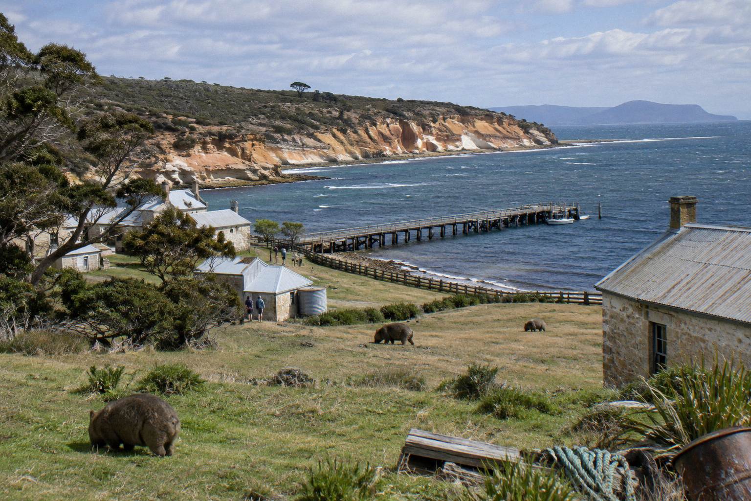
Every arrival lands at Darlington on the west coast, and the whole walkable south of the island hangs off it: Painted Cliffs sit south along the shore, Fossil Cliffs wrap the north-east corner near the jetty, the Reservoir Circuit runs inland, and the Bishop and Clerk and Mount Maria tracks climb the central ridge to the peaks at 620 m and 711 m respectively. The island is a national park, declared 1971, with no vehicle access at all, so the only movement on the map is by foot or by bicycle. Ile des Phoques sits offshore to the north-east and is reached only by boat.
Darlington itself deserves a slow look, not just a pass-through. The Parks and Wildlife Service describes Darlington as the most intact example of a convict probation station in Australia, inscribed in 2010 as part of the Australian Convict Sites. The penal settlement dates from 1825, the probation station from 1842, and the Bernacchi cement works from the late 1800s. The Darlington Township Walk is a 1 km, Grade 2 loop taking 0.5 to 2 hours, which makes it the easiest stop on the map and the natural first move after you step off the boat.
Aboriginal people crossed to the island in canoes, knowing it as wukaluwikiwayna; Aboriginal people from Maria Island were known as the Puthikwilayti, and Aboriginal people have lived in the homelands of the Oyster Bay nation for more than 35,000 years. That history frames everything the map sits on top of.
Because there are no shops or cafes, the map has a practical rule attached: every meal and every drop of drinking water comes with you, and the tap water on the island is not potable unless boiled for one minute or purified. A few signed taps sit at the Darlington barbecue shelter and the Mess Hall. There are no rubbish bins either, so whatever you carry in leaves with you.
Every Walk Stop With Distance, Grade And Time
The five headline stops from the jetty are the Darlington Township Walk at 1 km Grade 2, Painted Cliffs at 4.3 km return Grade 3, Fossil Cliffs at 4.5 km circuit Grade 3, the Reservoir Circuit at 4 km return Grade 3, and Bishop and Clerk at 11 km return Grade 4 with a 620 m summit; Mount Maria at 16 km return is the one stop that generally defeats a same-day return. Times below are the walking times given by Parks; riding times by mountain bike are shorter for most stops.
| Stop | Distance | Grade | Walking time | Notes |
|---|---|---|---|---|
| Darlington Township Walk | 1 km | 2 | 0.5 to 2 h | Convict site, easiest stop |
| Hills Walk | 2 km | 3 | 1 to 2 h | Short climb near Darlington |
| Painted Cliffs | 4.3 km return | 3 | 1 to 2 h | Safest within two hours of low tide, calm seas only |
| Reservoir Circuit | 4 km return | 3 | 1.5 h | Good place for the forty-spotted pardalote |
| Fossil Cliffs | 4.5 km circuit | 3 | 1 to 2.5 h | Fossils about 300 million years old |
| Bishop and Clerk | 11 km return | 4 | 4 to 5 h | Summit 620 m, scrambling and exposed |
| Frenchs Farm | 22 km return | 3 | 6 h | Long northern walk |
| Encampment Cove | 26 km return | 3 | 8 h | Northern coast |
| Mount Maria | 16 km return | 4 | 8 h | 711 m, generally needs an overnight |
| Haunted Bay | 40 km return | Not stated | 7 h stated by Parks | Far south, remote |
The pattern in the table is the single most useful thing a map of the island can tell you. Three Grade 3 stops sit within about 4 to 4.5 km of the jetty, so a fit walker with a full day can combine two of them and still have time in Darlington. The Grade 4 peaks are a different kind of day: Bishop and Clerk alone is 4 to 5 hours of walking with scrambling on an exposed route, and Mount Maria is an 8-hour walk that Parks says is generally not possible to combine with the same-day ferry back.
If you are weighing this against other trips in the region, the choice between ferry and cruise shapes which of these stops you actually touch. The companion guide to the ferry from Triabunna lays out the sailing timetable and what a self-directed day allows.
The Cruise And Walk From Hobart runs at A$365 per adult on the operator site, rated 5.0 from 630+ reviews, with a 7:45am check-in at Franklin Wharf in Hobart, a bus to Triabunna and the operator's own cruise rather than the public ferry, park entry included and free cancellation up to 24 hours before start. The Cruise And Walk From Triabunna starts at 21 Vicary Street with check-in around 9:30am, runs about 6 to 8 hours, includes the landing and park fee, and carries a 5.0 rating from 230+ reviews. The Active Day Tour From Hobart is a different format again: a Tours Tasmania day of about 10 hours from a Davey Street start with ferry and park fees included, about 10 km of walking at a moderate fitness level in a small group, rated 4.8 from 240+ reviews. Cancellation terms differ between its two booking pages, so check the terms on the booking page you use. All amounts are Australian dollars and fares change.
Which Stops A Day Tour Actually Reaches
A guided day built around Darlington reaches Darlington itself, the Township Walk, and the near cliff stops, because the Cruise And Walk products give roughly two hours on the island with a guided Darlington walk, while the Active Day Tour From Hobart packs about 10 km of walking into a small-group day that can stretch toward the longer stops. The tour boat does not run to a walking-track timetable; it runs to its own cruise schedule, so the on-island window is the number that shapes your map.
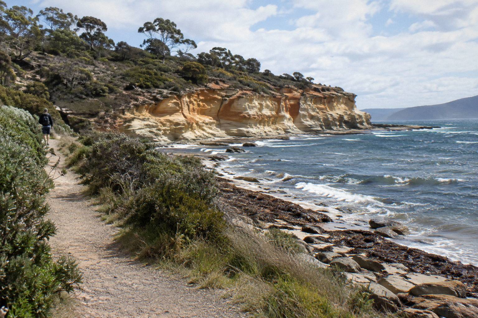
Think of it as three tiers. Tier one is Darlington and the Township Walk, reachable by absolutely everyone who lands. Tier three is Bishop and Clerk, an 11 km Grade 4 return with a 620 m summit, which needs the better part of a walking day and suits the ferry-based or full-day formats rather than a short cruise stop.
| Tier | Stops | Distance from jetty | Who reaches it |
|---|---|---|---|
| One: Darlington | Township Walk, Hills Walk | 1 to 2 km | Every visitor who lands |
| Two: near stops | Painted Cliffs, Fossil Cliffs, Reservoir Circuit | 4 to 4.5 km | Any visitor with a few hours; cruise-and-walk window covers one stop |
| Three: peaks | Bishop and Clerk, Mount Maria | 11 to 16 km return | Full-day walkers; Mount Maria generally needs an overnight |
| Offshore | Ile des Phoques | reached by boat only | Cruise and boat-day products |
The Cruise And Walk From Hobart is the featured option here because it removes the geography question entirely: pickup in Hobart, bus to Triabunna, the operator's own cruise across, park entry included, rated 5.0 from 630+ reviews and at A$365 per adult on the operator site, with free cancellation up to 24 hours before start. You can read the full Cruise And Walk From Hobart details on its tour page.
The location of each stop relative to the jetty is what makes this planning work. Nothing on tier two is more than about 4.5 km return from where you land, so the decision is not distance but tide and time: the Painted Cliffs rock platform is safest within two hours of low tide and in calm seas only, and the cliffs themselves are unstable, unable to be climbed or accessed from above. Tides are not in anyone's sailing timetable, so check them for your date before you commit to that stop first.
Getting Between Stops On Foot Or By Bike
Walking covers the three near stops easily, but a mountain bike compresses the map: Parks gives riding times of 0.5 to 1.5 hours for Painted Cliffs, 1 to 1.5 hours for Fossil Cliffs, 0.5 to 1 hour for the Reservoir Circuit and 3 to 5 hours for either peak, though bikes are banned from the walking tracks and stay on roads and trails where permitted. Bike hire is bookable at least 24 hours ahead, with adult hire from A$40 for one day and collection next to the penitentiary in Darlington.
| Stop | On foot | By bike | Same-day realistic? |
|---|---|---|---|
| Darlington Township Walk | 0.5 to 2 h | not a ride | Yes, always |
| Painted Cliffs | 1 to 2 h | 0.5 to 1.5 h | Yes, tide dependent |
| Reservoir Circuit | 1.5 h | 0.5 to 1 h | Yes |
| Fossil Cliffs | 1 to 2.5 h | 1 to 1.5 h | Yes |
| Bishop and Clerk | 4 to 5 h | 3 to 5 h | Yes for fit walkers with a full day |
| Mount Maria | 8 h | 3 to 5 h | Generally no, plan an overnight |
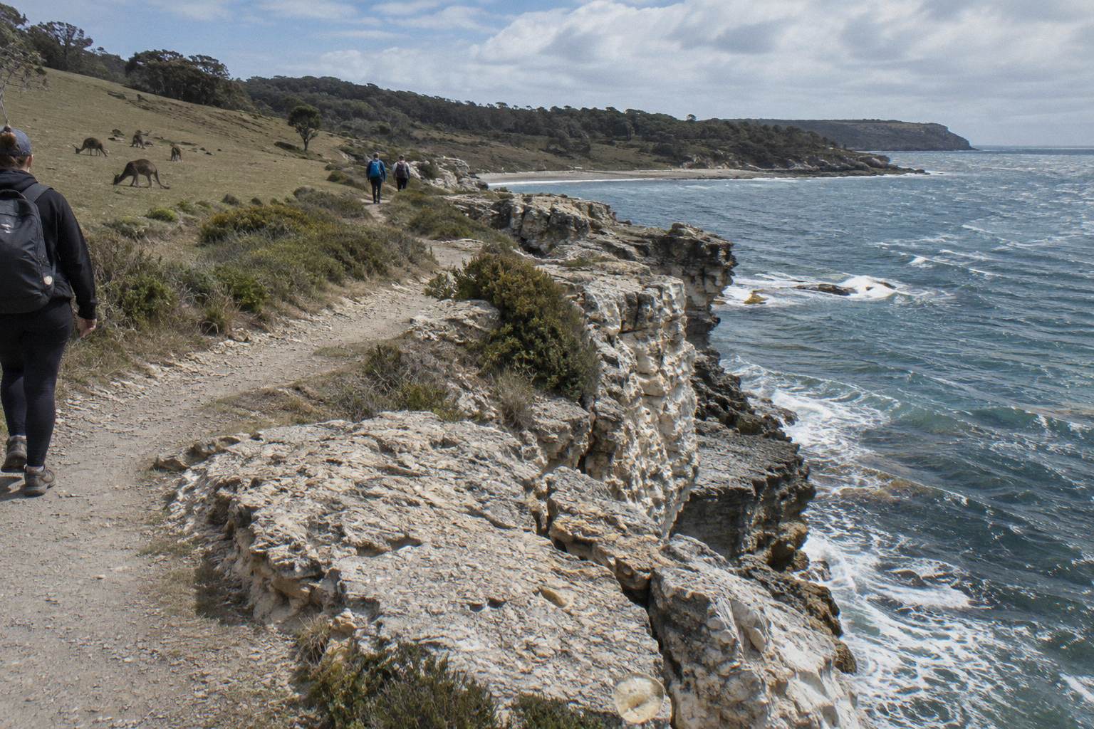
The bike option changes which stops combine. On foot, Painted Cliffs plus Fossil Cliffs in one visit is a solid but full outing of roughly 9 km combined with tide constraints on one of them. With bikes, both plus a Reservoir Circuit spin becomes achievable for a confident rider, and Bishop and Clerk moves from ambitious to plausible. The rule that matters: hire bikes are not permitted on the walking tracks, so the peaks are reached on road and track combinations, not by cutting cross-country.
An own bike can cross on the ferry as freight, and an e-bike is charged as regular bike freight, though there is no charging on the island. Riders from 7 years are catered for with hire sizes, helmets are supplied, and there are no child seats, which matters if your map day includes small children.
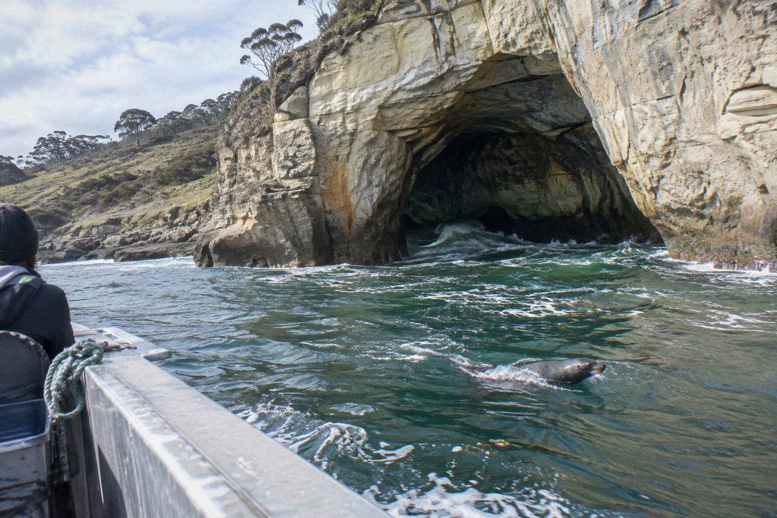
For the sea half of the map, a cruise day also touches Ile des Phoques, where the operator says thousands of Australian fur seals rest on the rocks and swim in the surrounding waters. The companion guide to Maria Island cruises and the seals maps that offshore side of the island in full.
Painted Cliffs, Fossil Cliffs And Reservoir Circuit In Detail
The three Grade 3 stops are the heart of a day-trip map: Painted Cliffs at 4.3 km return along the southern shore, Fossil Cliffs as a 4.5 km circuit around the north-east cliffline with fossils about 300 million years old, and the Reservoir Circuit at 4 km return inland, a good place for the forty-spotted pardalote. Each takes 1 to 2.5 hours on foot, so any two fill a full day comfortably and one leaves room for Darlington.
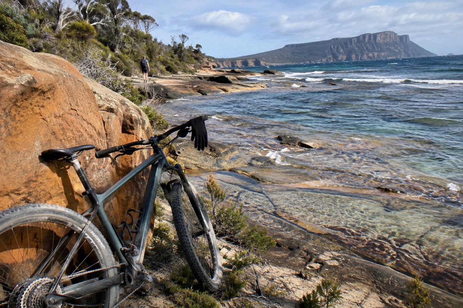
Painted Cliffs is the tide-locked stop. The rock platform is safest within two hours of low tide and only in calm seas, the cliffs are unstable and cannot be climbed or approached from above, and the beaches along the way are unpatrolled. If your arrival time and the tide do not align, flip your plan and do Fossil Cliffs first, because that circuit has no tide dependency at all.
Fossil Cliffs is the most forgiving headline stop: a 4.5 km Grade 3 circuit with a 1 to 2.5 hour window that fits almost any day shape. The fossils embedded in the cliffline are about 300 million years old, which makes this the stop where the island's deep history is visible at your feet rather than explained on a sign.
The Reservoir Circuit is the quiet third option, 4 km return and about 1.5 hours on foot, running inland from the coast. Parks notes it as a good place for the forty-spotted pardalote, one of the island's endemic bird draws, and the island overall carries 11 of Tasmania's 12 endemic bird species. As with all wildlife here, keep 2 m distance and never feed anything, and treat any sighting as possible rather than promised.
If you would rather have the boat handle the crossing and a guide handle Darlington, the Triabunna version of the cruise-and-walk day is the natural fit.
The Cruise And Walk From Triabunna starts at 21 Vicary Street with check-in around 9:30am, runs about 6 to 8 hours, includes the landing and the park fee, carries a 5.0 rating from 230+ reviews, and offers free cancellation up to 24 hours before start. The price for your date shows on the booking page. Because it starts at the wharf rather than in Hobart, it suits anyone already staying on the east coast, and it leaves the same near-jetty stops reachable in the on-island window.
Bishop And Clerk And Mount Maria: The Big Stops On The Ridge
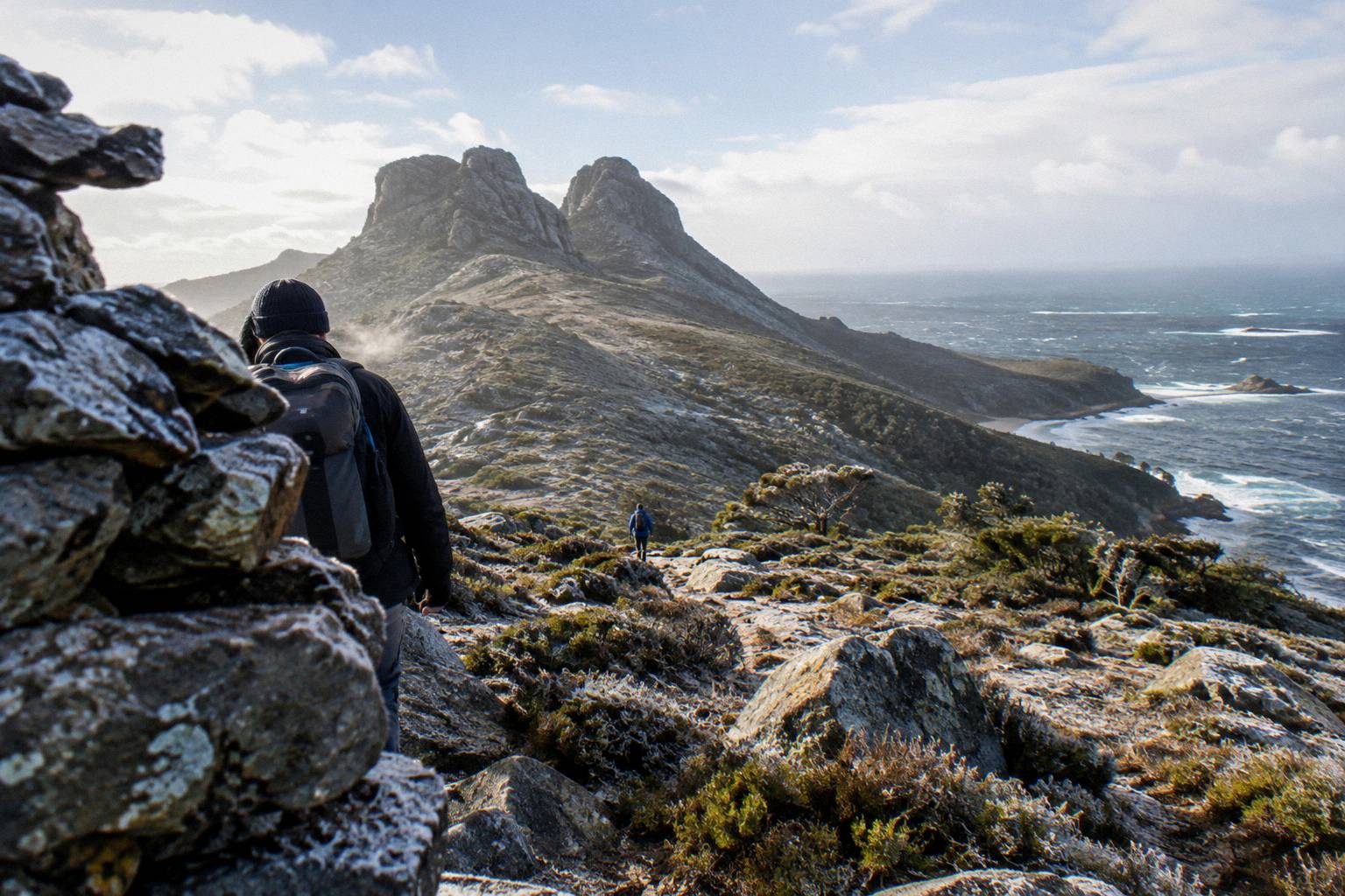
Bishop and Clerk is 11 km return, Grade 4, with a 620 m summit reached after scrambling on an exposed route, and it is the realistic peak for a fit day visitor; Mount Maria is 16 km return, Grade 4 and 711 m, an 8-hour walk that Parks says generally cannot be combined with the same-day ferry, so it belongs to overnight visitors on the map. These two tracks run up the island's spine and are the only stops where route-finding and weather genuinely matter.
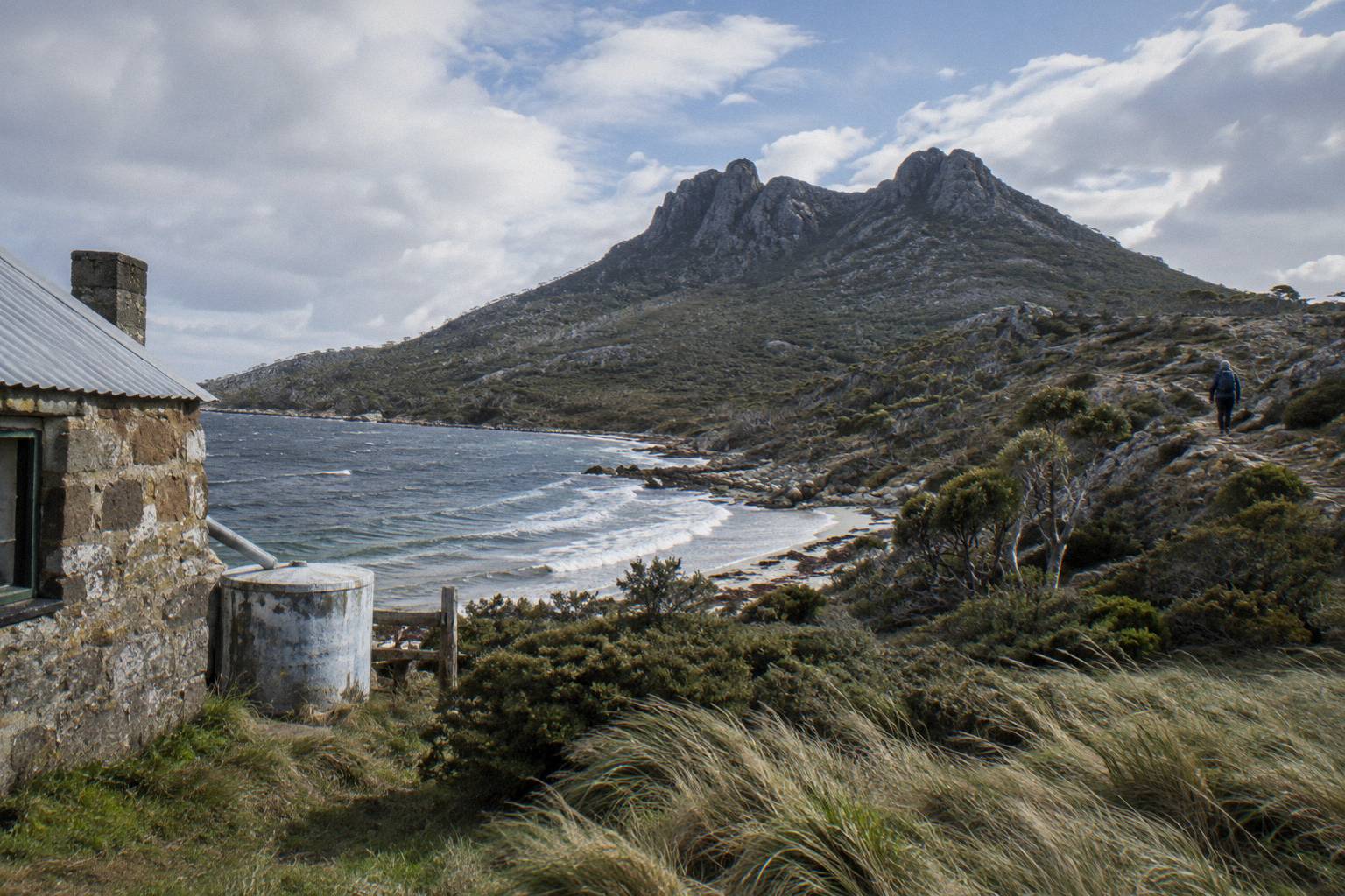
Bishop and Clerk sits toward the northern end of the ridge, and its 4 to 5 hour walking time, or 3 to 5 hours riding, means a day visitor who lands early can attempt it and still make an afternoon sailing, though the margin is thin and the exposed scrambling section is not the place to rush. The 620 m summit figure comes from both Parks and the cruise operator, and it is the number to plan around rather than the straight-line distance.
Mount Maria, at 711 m, is the island's highest point and the reason the map has an overnight tier. The 16 km return track is Grade 4, takes about 8 hours on foot, and generally cannot be returned on the same-day ferry, so planning it means a bunkhouse or campground night in Darlington. For the full picture on those climbs, the site's guide to the Bishop and Clerk walk breaks down the route and timing.
A guided alternative that covers serious walking ground is the Active Day Tour From Hobart, which includes about 10 km of walking at moderate fitness in a small group.
The Active Day Tour From Hobart is a Tours Tasmania day of about 10 hours from a Davey Street start, back in Hobart, with ferry and park fees included and a 4.8 rating from 240+ reviews. Its cancellation terms differ between its two booking pages, one free up to 2 days before and one non-refundable, so check the terms on the booking page you use. Ten kilometres of walking is Bishop-and-Clerk territory in distance, which is why this format suits walkers whose map priority is the long stops.
Ile Des Phoques And The Sea Edge Of The Map
Ile des Phoques sits offshore to the north-east and belongs to the boat map, not the walking map: the cruise operator describes thousands of Australian fur seals resting on the rocks and swimming in the surrounding waters, and dolphins and migrating whales are possible on the crossing, though no sighting is ever guaranteed. No walking track reaches it, and no ferry calls there, so it appears on your day only if your chosen trip is a cruise product.
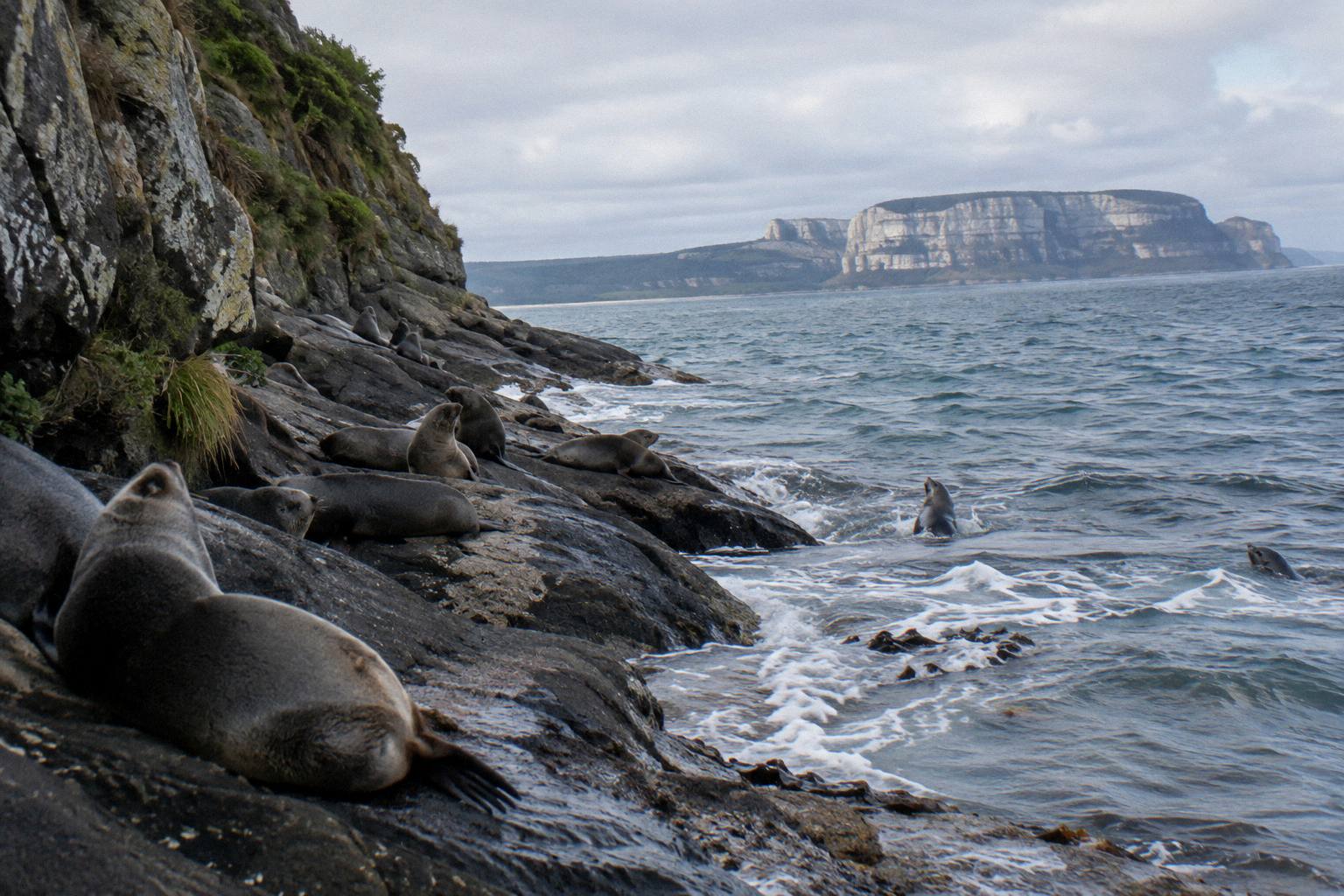
The Ile Des Phoques Boat Day Trip is the dedicated option: about 7.5 hours from 21 Vicary Street Triabunna with morning tea, drinks and a salad-bowl lunch included, rated 4.9 from 50+ reviews, with free cancellation. The price for your date shows on the booking page. Humpback and southern right whales pass the region on migration, southern rights northward from June to September and humpbacks northward from May to July, and the operator notes sightings vary daily.
The sea edge also frames the marine reserve: fishing is not allowed in the no-take zone along the north-west coast, shells and living or dead material cannot be collected, and snorkelling and diving are possible in Darlington Bay and at the Painted Cliffs. Unpatrolled beaches apply everywhere, so treat swimming as your own judgment call.
One practical note about the west-coast arrival point: water, wastewater and electrical upgrade works are under way in Darlington, with showers unavailable during the works, so the map's facilities at the jetty end are leaner than usual and should not be assumed finished.
What Trips People Up Reading The Island Layout
The recurring mistakes are assuming Mount Maria fits a day, treating Painted Cliffs as an anytime stop, expecting shops or drinking water, planning around a "daily" ferry in winter, and assuming the tour boats use the ferry timetable; each of these quietly breaks a map plan that looked fine on paper. None of them are obvious until the day itself, so here they are in one place.
The tide mistake is the most common. The Painted Cliffs platform is safest only within two hours of low tide and in calm seas, and no sailing schedule tells you the tide. Look up the low tide for your date and build the map around it, because a morning arrival with an afternoon low tide means Fossil Cliffs first and Painted Cliffs second.
The Mount Maria mistake is the costliest. Sixteen kilometres return, 8 hours, Grade 4, and a same-day ferry that generally will not wait: Parks is explicit that this walk generally needs an overnight. Booking a bunkhouse or campsite before committing is the fix, not walking faster.
The provisioning mistake is the simplest to avoid. No shops, no cafes, no rubbish bins, tap water that must be boiled one minute or purified, and every meal carried in. The old Coffee Palace building in Darlington is a museum, not a cafe, despite the name.
The winter timetable mistake: the ferry runs fewer sailings from May to August with no Tuesday or Thursday departures, so a map plan that assumes a daily sailing collapses in winter. And the tour-boat mistake: the cruise products run on their own schedules from their own check-ins, not the ferry timetable, so the on-island window quoted for a cruise-and-walk day is the number to plan your stops against.
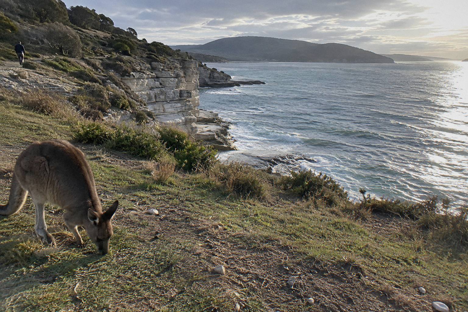
Finally, reception and rescue assumptions: plan with a paper map or downloaded map, tell someone your route, and keep 2 m from all wildlife, because wombats and kangaroos are common on the walking roads but no sighting and no condition is ever promised.
Three guided formats cover the island's geography without any of that planning weight, and the selection below spans a Hobart cruise-and-walk day, a Triabunna start and a ferry-based walking tour.
Whichever way you cross, the map itself is generous: one jetty, three short stops within about 4.5 km, two peaks for the ambitious, and an offshore islet for the boat days. Choose your tier before you book, and the island does the rest. More orientation help sits in the site's Maria Island Tours collection, including tide notes for the cliffs and overnight options for Mount Maria. You can also check availability on the featured cruise-and-walk day while you finalise the plan.
Common Questions About The Maria Island Map
Where Does Everyone Arrive On Maria Island?
At Darlington, on the west coast. The ferry and the cruise products all land at the Darlington jetty, which sits inside the convict site and next to the start of the Township Walk, the Reservoir Circuit and the cliff tracks.
Which Walk Stop Is Closest To The Jetty?
The Darlington Township Walk, a 1 km Grade 2 loop taking 0.5 to 2 hours. After that, Painted Cliffs at 4.3 km return, the Reservoir Circuit at 4 km return and Fossil Cliffs at 4.5 km circuit are all Grade 3 and all within easy walking distance of the jetty.
Can You Walk To Bishop And Clerk On A Day Trip?
Yes, for fit walkers with a full day. It is 11 km return, Grade 4, 4 to 5 hours walking with scrambling on an exposed route to the 620 m summit. The margin against an afternoon sailing is thin, so start early and keep the timetable in view.
Can You Climb Mount Maria In One Day?
Generally no. It is 16 km return, Grade 4, about 8 hours of walking to 711 m, and Parks advises it generally cannot be combined with the same-day ferry return. Plan a bunkhouse or campground night in Darlington.
Is Ile Des Phoques On The Walking Map?
No, it is an offshore islet to the north-east reached only by boat. The cruise operator describes thousands of Australian fur seals there, and a dedicated boat day trip of about 7.5 hours from Triabunna visits it.
Do I Need A Map If I Take A Guided Tour?
Less so, because the cruise-and-walk products include a guided Darlington walk and a set on-island window of roughly two hours. A map still helps you choose which single near stop, Painted Cliffs, Fossil Cliffs or the Reservoir Circuit, fits that window and the tide.